


| North Facing Camera Click On Play Button To View Live Image |
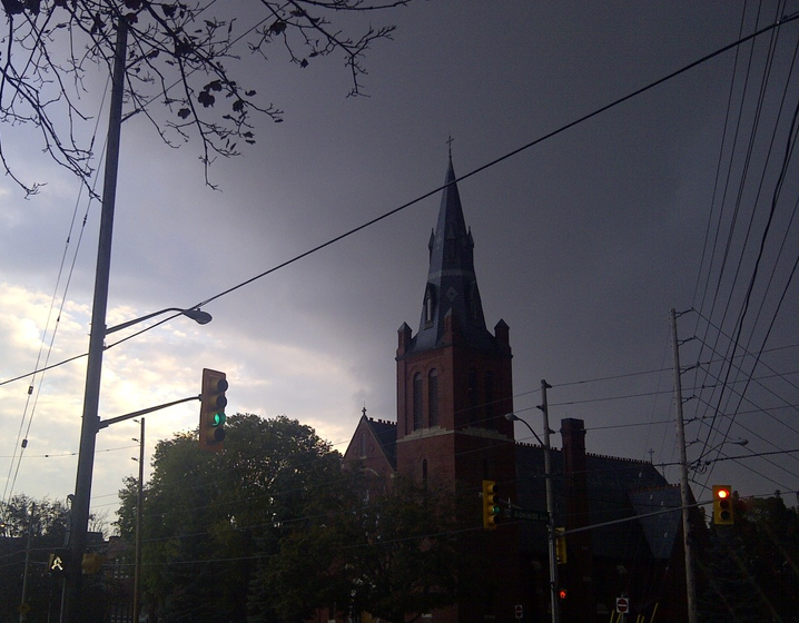
Sky Facing Camera Click On Image To View Full Screen In New Window 
|


Earthquakes in the past 7 days of magnitude 2.0 or greater within 1000 mi
Update time = Sun, 16-Jun-2024 18:52:25 EDT
| Epicenter Near | Magnitude | Distance to Epicenter | Time | Link |
|---|---|---|---|---|
| 2 km ENE of Thurso, Canada | 2.3 | 215 mi | Sat, 15-Jun-2024 20:55:44 EDT | map |
| 4 km NW of Buford, Georgia | 2.2 | 728 mi | Thu, 13-Jun-2024 03:17:54 EDT | map |
| 3 km NNW of Lesslie, South Carolina | 2.2 | 630 mi | Tue, 11-Jun-2024 04:02:37 EDT | map |
| 4 km NW of Buford, Georgia | 2.3 | 728 mi | Sun, 09-Jun-2024 20:37:35 EDT | map |
4 earthquakes found. Click on location or map links for more details from the USGS
Script by Saratoga-weather.org
Map and data courtesy of United States Geological Survey.
![[WOW]](WOW.gif)
![[Skywarn]](Skywarn.gif)

![[AWEKAS]](AWEKAS.gif)
![[CANWARN]](canwarn.png)
![[Weather Underground PWS IONOSHAW2]](https://dw7240.com/Base-Canada/wunderground.png)

![[WA]](WA.gif)
![[DAVIS]](DAVIS.gif)
![[anything]](ANYTHING.gif)
![[CoCoRaHS]](cocorahs_can.jpg)
![[MADIS]](MADIS.gif)
![[wcloud]](weathercloud.gif)
![[NOAARADIO]](ani-noaa-radio-small.gif)
![[NOAA]](NOAA.gif)
![[wxtogether]](weather_together.jpg)
![[ipcamlive]](IPCamLive.png)
![[ThingSpeak]](thingspeak.png)

![[MESOWEST]](MESOWEST.gif)
![[PWS]](PWS.gif)
![[COWN]](COWN.gif)
![[CWOP]](CWOP.gif)
![[WEATHERBUG]](WEATHERBUG.png)
![[WINDFINDER]](windfinder.gif)
